|
 Title page Title page
|
1
|
|
 Content Content
|
2
|
| |
|
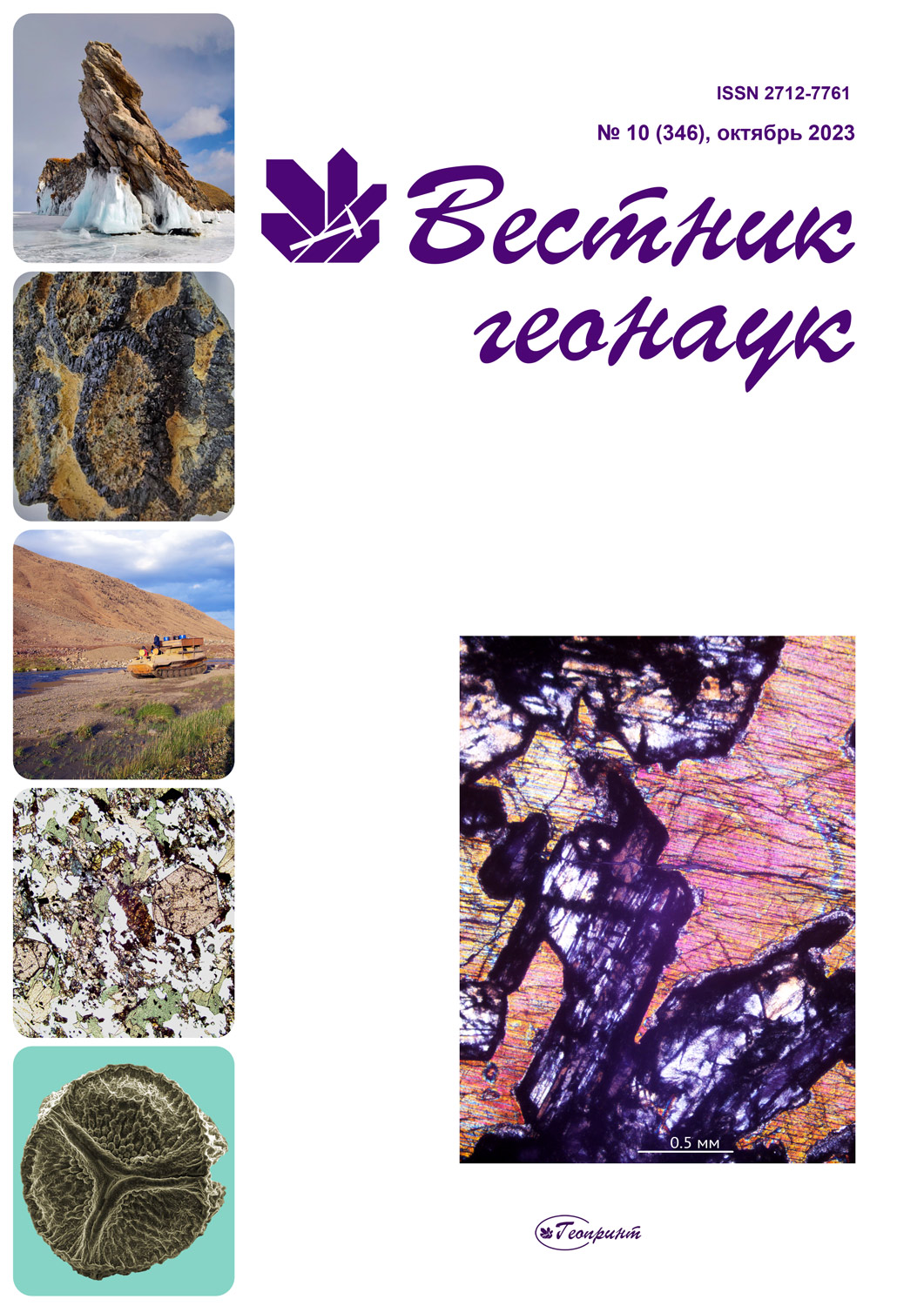
| On the cover: Gabbro (thin section with analyzer). Sampling place: Slyudyanaya Gorka, Marun-Keu Ridge, Polar Urals. Photo by N. S. Ulyasheva |
|
| |
|
|
|
|
Scientific articles
|
|
|
Structural features of Precambrian formations of Subpolar and Polar Urals: comparative analysis
I. L. Potapov, K. S. Popvasev, A. M. Pystin
|
3—14
|
Two episodes of subduction-related intrusive magmatism within the Pechora zone of the Pechora Basin basement
V. L. Andreichev, A. A. Soboleva, E. G. Dovzhikova, Yu. L. Ronkin
|
15—25
|
Metabasites along the Lunvozh river (Middle Timan): petrography, mineralogy, petrochemistry
A. M. Shmakova
|
26—36
|
Formation of hydrocarbon gases in domanik shale during hydrous pyrolysis
D. A. Bushnev, N. S. Burdelnaya, A. A. Ilchenko, Ya. D. Sennikova
|
37—41
|
Geological and geomorphological zoning of the Seyda river basin (east of the Bolshezemelskaya tundra) based on the ArticDEM digital elevation model
V. A. Isakov
DOI: 10.19110/geov.2023.10.5
The Bolshezemelskaya tundra is one of the least studied and poorly mapped territories of the European North-East of Russia. The availability of the ArcticDEM digital elevation model with a high spatial resolution allowed conducting a comprehensive joint analysis of digital, geomorphological and geological data.
The results of using the ArcticDEM global digital relief model for geological and geomorphological studies of the Seyda River basin (eastern Bolshezemelskaya tundra) in its middle and lower reaches are presented.
An irregular triangulation network TIN covering the Seyda River valley was constructed, and the main geomorphometric parameters of the relief were calculated: hypsometric characteristics, surface inclination angles and slope exposures. Based on the obtained morphometric indicators of the relief and the textural and structural characteristics of Quaternary sediments, the following types of relief were identified: accumulative glacial, erosion-accumulative water-glacial and erosion-accumulative alluvial types of relief. A geological and geomorphological diagram of the Seyda River valley was been constructed and the main morphogenetic features of the relief during its formation were identified.
Keywords: digital elevation model, ArcticDEM, geomorphological zoning, morphometric analysis.
 Download full text Download full text
|
42—50 |
Specific spatial distribution of 137Cs, 40K, 226Ra, 232Th in soils of the city of Polyarnyye Zori (Murmansk region)
S. A. Iglovsky, A. V. Bazhenov, E. Y. Yakovlev
DOI: 10.19110/geov.2023.10.6
The article examines patterns of spatial distribution of 137Cs and natural radionuclides 226Ra, 232Th, 40K in the upper (0—5 cm) layer of soils in the main functional zones of the city of Polyarnye Zori. The analysis of the general gamma activity of the territory, using RS-700 mobile gamma spectrometric complex, showed, three local anomalies of increased gamma radiation, which were confined to high-rise buildings within the city. In undisturbed peat soils in the area of the Kola Nuclear Power Plant and in the area of urban forests and parks, the maximum specific activity of technogenic 137Cs was 29.5 and 28.8 Bq/kg, respectively. In other functional zones of the city, the activity of 137Cs was 5 times less. According to the results of the correlation analysis, the technogenic 137Cs has a moderate relationship (on the Chaddock scale) with the 45 and 500 µm fraction. 232Th has a high affinity with 226Ra, and 40K with 232Th, which are statistically significant results when taking P-Value into account. It can be assumed that natural radionuclides 232Th, 40K, 226Ra have a moderate association with the 1 mm fraction due to the presence of particles of this size in the upper soil layer. There is a moderate relationship between 232Th and 40K.
Keywords: specific radioactivity, urban soils, 137Cs, 40K, 226Ra, 232Th, Polyarnyye Zori, Murmansk region.
 Download full text Download full text
|
51—56 |
| |
|
| Chronicle, events, facts. History of Science |
| |
|
|
The 15th International Congress for Applied Mineralogy: a hard way from Belgorod to Chengdu
 Download full text Download full text
|
57—59 |
| |
|
|
RSF-NSFC project: workshop at the Southwest University of Science and Technology (Mianyang) and field trip to the Baimulin-Linhua mine (Sichuan province)
 Download full text Download full text
|
59—61 |
| |
|
|
Field trip to Jiangmen National Park
 Download full text Download full text
|
62—63 |
| |
|
|
Glorious path of a petroleum geologist (N. A. Malyshev's 70th anniversary)
 Download full text Download full text
|
63—64 |
|
|


